Environmental monitoring
Remote environmental monitoring is conducted using integrated aerial surveys. This type of investigation provides information on the environmental condition of extensive areas within a short time, at minimal cost per unit area and with a fairly wide range of recorded parameters. Engineering geological investigations in Moscow belong to the category of work focused on studying the specific conditions of a site. In this case, monitoring involves regular, usually seasonal, areal aerial surveys of industrial centres, urban agglomerations and areas subject to intensive human-induced impacts.
Remote environmental monitoring is best conducted in two stages: 1) identification of contamination; 2) monitoring the effectiveness of the measures taken to eliminate it.
Main objectives:
- determination of the composition and density of contamination of areas by gamma-emitting natural and artificial radionuclides;
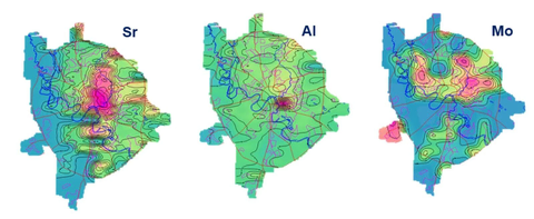
- assessment of air pollution by mapping the distribution of gaseous components and their distribution in atmospheric aerosol;
- identification of contaminated areas and sources (industrial and municipal) of unauthorised discharges into rivers and water bodies;
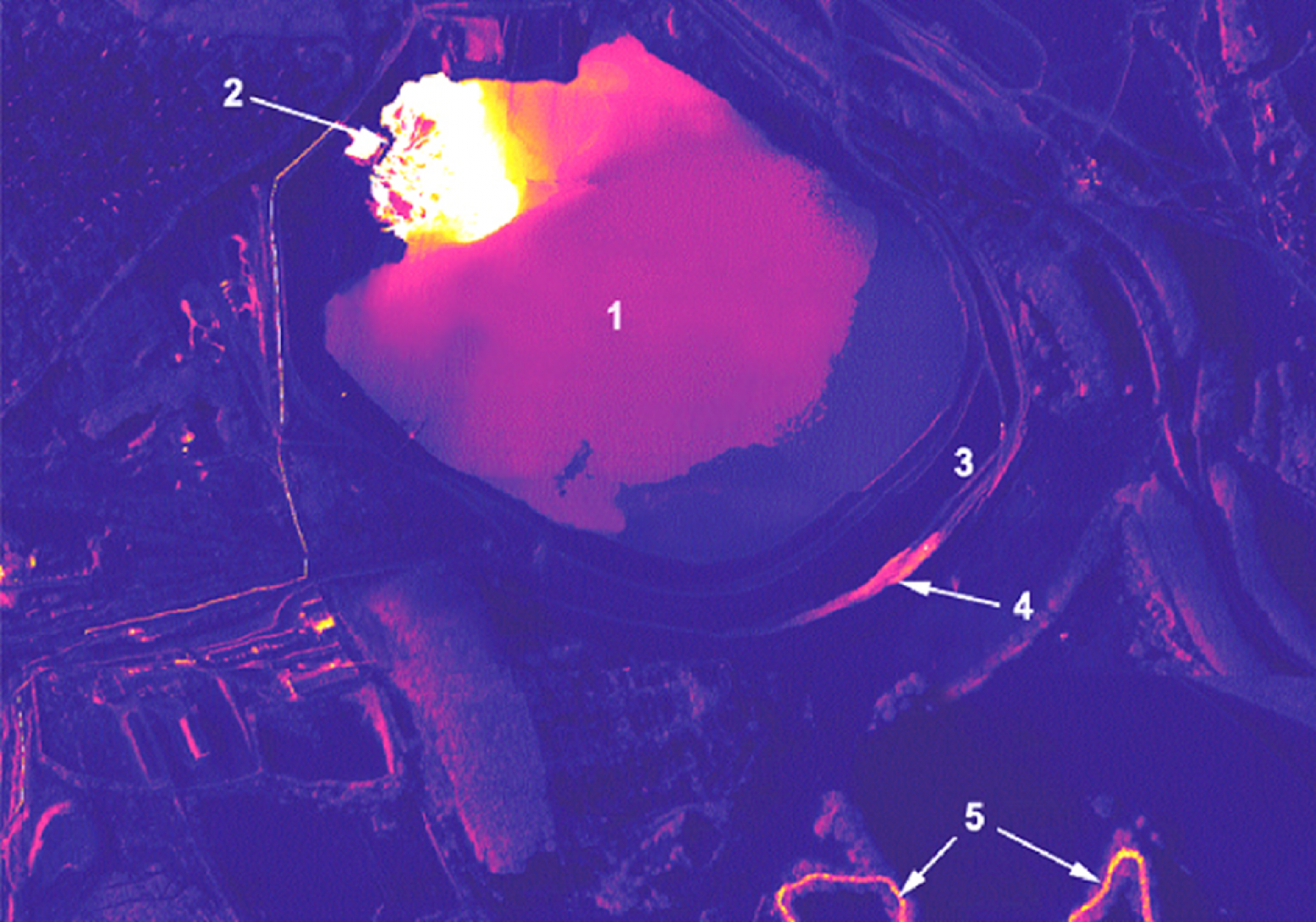
- detection of leaks from liquid industrial waste storage facilities;
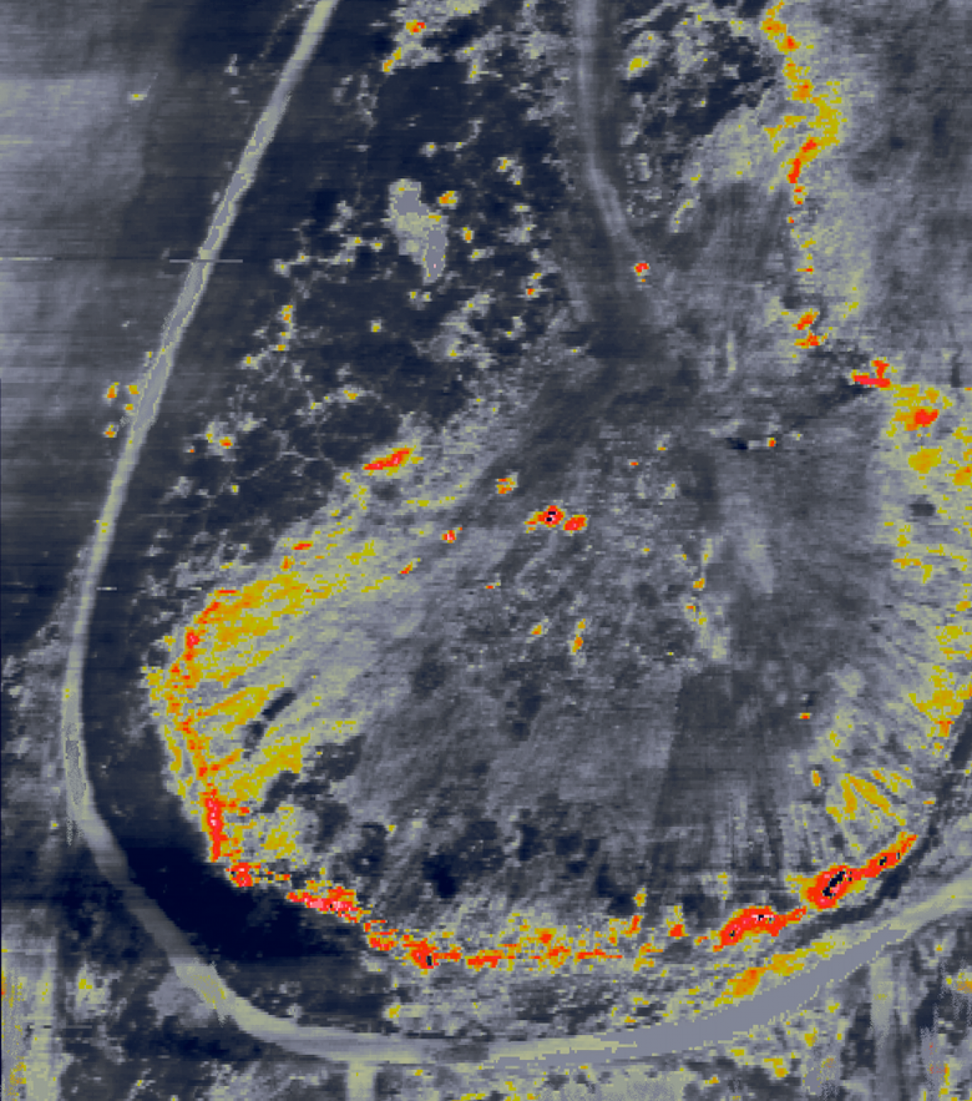
- detection of underground spontaneous-combustion centres in peatlands and at landfills for solid municipal and industrial waste.
Determination of the composition and density of contamination of areas by natural and artificial radionuclides
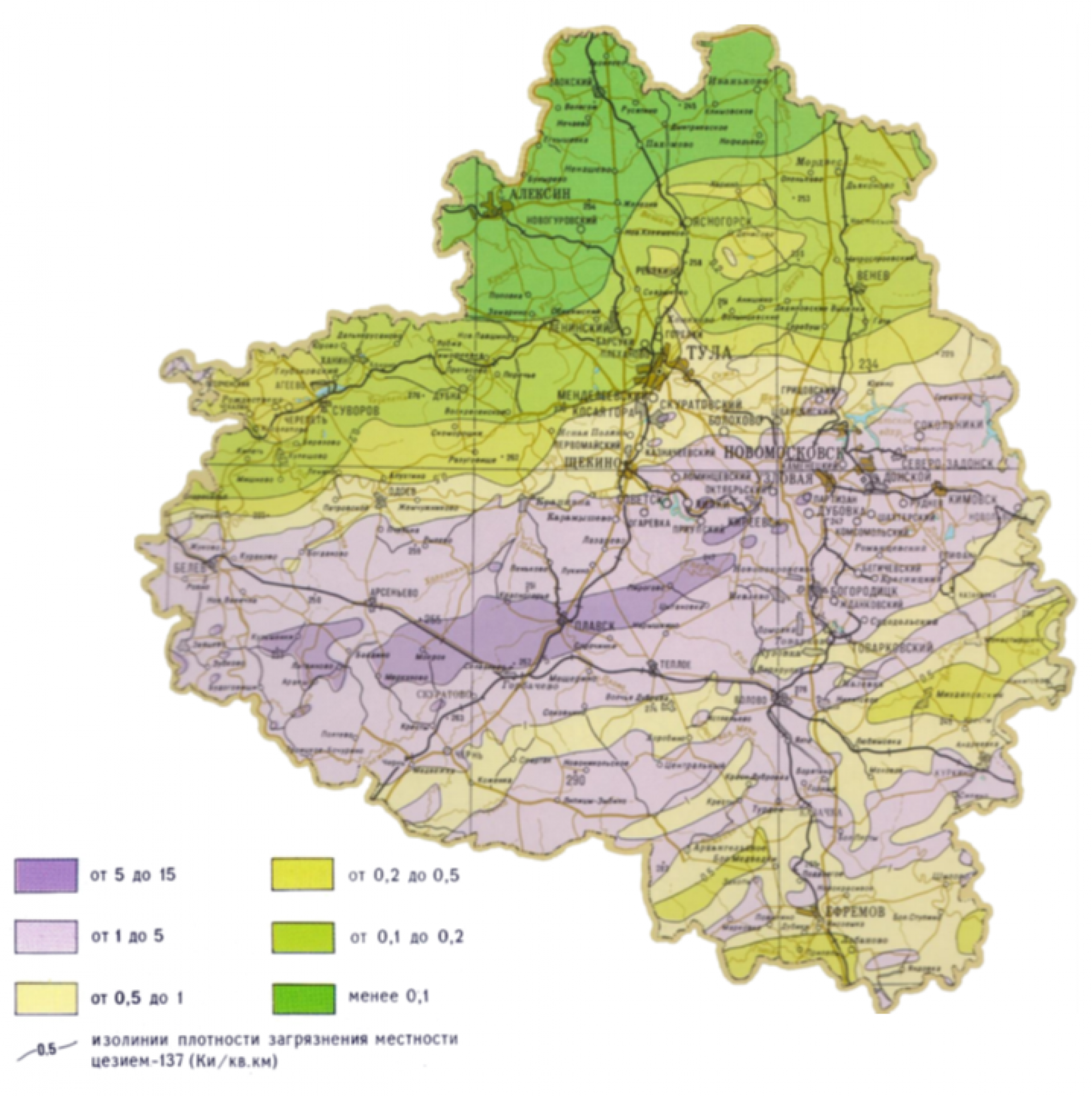
Maps of radioactive contamination of an area by natural and artificial radionuclides derived from airborne gamma-ray spectrometry, including maps of caesium (Cs-137) and local radon (Rn-222), enable assessment of radioactive contamination of soil and the near-surface atmosphere.
Monitoring the condition of water bodies
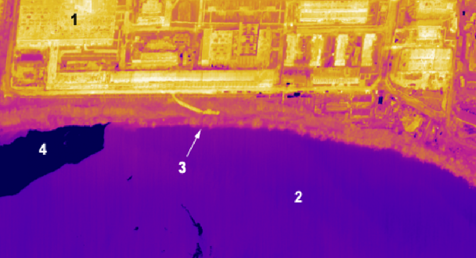
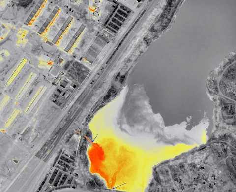
Airborne thermal infrared imaging is the principal method for monitoring rivers and water bodies in areas of intensive human activity. The data obtained by this method enable the identification of unauthorised industrial and municipal wastewater outlets, including submerged, low-flow and low-contrast outlets, as well as petroleum-product films that are difficult to identify visually. Analysis of the resulting data provides a sound basis for selecting sampling points for hydrochemical analysis.
Virtually all discharge outlets are reflected in the thermal field as positive anomalies of varying contrast. The resulting panoramic picture of the thermal field makes it possible to assess the extent of the thermal impact of wastewater on the receiving basin.
For petroleum-product films on water, the contrast is caused by changes in the optical properties of the water surface, a reduction in the water evaporation rate, and the lower thermal conductivity and heat capacity of petroleum products compared with water.
Detection of underground fire centres
Airborne thermal infrared imaging data can provide a realistic picture of fire development at municipal solid waste landfills, in peatlands and in forests.
The effectiveness of thermal imaging for detecting forest fires follows from the physical nature of these objects as high-contrast sources of infrared radiation. Aerial patrols of fire-prone areas enable not only the detection of fire centres but also the acquisition of the most complete information about them: extent, configuration and precise location on the ground.
Assessment of air pollution
Airborne aerosol surveys over major industrial centres produce a set of maps showing the distribution of 60 chemical elements in the near-surface atmosphere, enabling the area to be zoned by pollution level and pollutant composition. Integrated analysis of the resulting data enables planning of the placement of a network of ground survey stations, ultimately leading to specific management decisions to reduce atmospheric emissions.