Airborne gravimetry and gravity exploration
Airborne gravimetry (airborne gravity exploration, or gravity prospecting) is a geophysical method of mineral exploration based on measuring acceleration due to gravity aboard an aircraft. Gravity anomaly amplitudes depend on variations in the density of the rocks forming the Earth’s crust.
Gravity surveys can be conducted using:
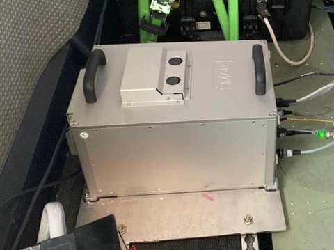
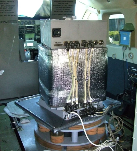
– the specialised wide-range GT-3 gravimeter, whose sensing element is mounted on a gyrostabilised platform to reduce the effects of horizontal aircraft accelerations. This airborne gravimeter is currently among the best in the world and is widely used by leading international companies for airborne gravity surveys;
– a strapdown airborne gravimeter based on an inertial navigation system equipped with a three-component gyroscope unit and a three-component accelerometer unit.
Aerogeofizika is currently the only Russian company with the experience and resources required to conduct airborne gravity surveys on a commercial production scale.
Principal specifications of the GT-3 airborne gravimeter:
- gravity measurement range: 976–984 Gal;
- root-mean-square error of acceleration due to gravity measurements with the aircraft (aeroplane or helicopter) stationary: no more than 0.1 × 10⁻⁵ m/s2;
- sensing-element time constant: 0.01 s;
- dynamic measurement range: 400 Gal;
- sampling frequency: 16 Hz;
- permissible vibration acceleration at frequencies of 5–100 Hz: 100 Gal;
- ambient temperature range: +5 to +35 °C;
- power consumption: 150 W;
- total system mass: 140 kg.
Main objectives:
- structural and tectonic mapping of buried basement;
- identification of structures prospective for hydrocarbon accumulations;
- mapping of the units of highest contrast within the sedimentary cover, particularly salt-bearing sequences, as well as intrusive bodies;
- mapping of faults, including possible thrust structures and fracture zones;
- mapping of palaeochannels.