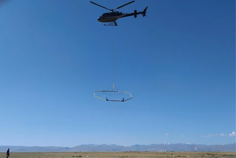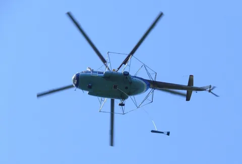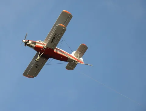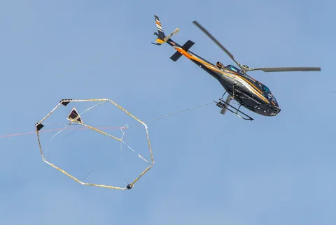
Multifrequency airborne electromagnetic surveying records components of the secondary electromagnetic field simultaneously at several frequencies. This enables effective mapping of the conductivity (resistivity) distribution within the survey area and analysis of its variation with depth.
Principal system specifications:
- operating frequencies: 130, 520, 2080 and 8320 Hz
- configuration: separated transmitter and receiver, with a relative positioning system
- measured components: in-phase and quadrature X, Y and Z components
- sampling frequency: 7 Hz
Main objectives:
- mapping of fault zones of different orders and permeable fracture and brecciation zones;
- mapping of structural and lithological assemblages;
- identification and mapping of buried palaeovalleys to assess placer-deposit potential.
Features of the airborne electromagnetic survey system:
- a broad resistivity measurement range, achieved by recording both quadrature and in-phase components;
- the system can be installed on either a helicopter or a small fixed-wing aircraft;
- high productivity owing to the system configuration.