

 Airborne geophysics on the threshold of the 21st century
 Technical equipment for remote investigations
 Targeted airborne geophysical technologies for geological investigations
 Airborne geophysical survey quality and reliability of geological interpretation
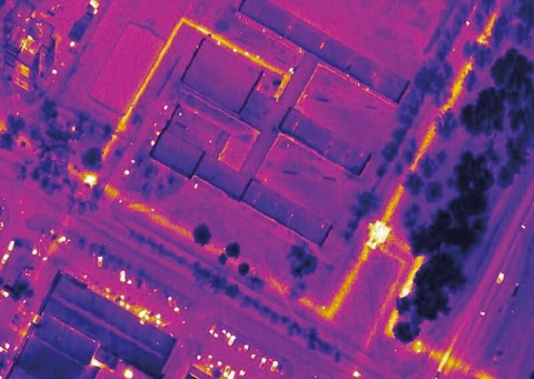 How and why we conduct airborne thermal infrared imaging
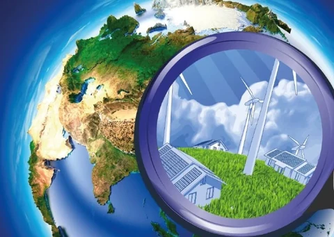 Remote environmental monitoring of major industrial centres
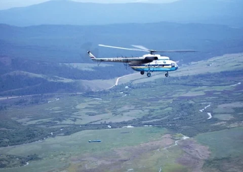 The Moscow school of Russian airborne geophysics
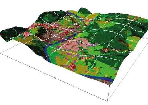 Some psychological aspects of the visual perception of cartographic information
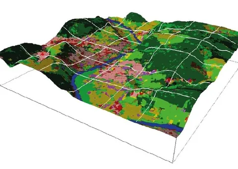 Development of an integrated set of hardware and software
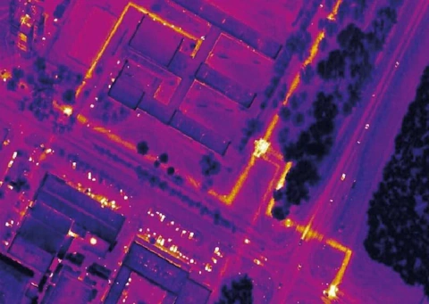 Airborne geophysical technologies serving the capital
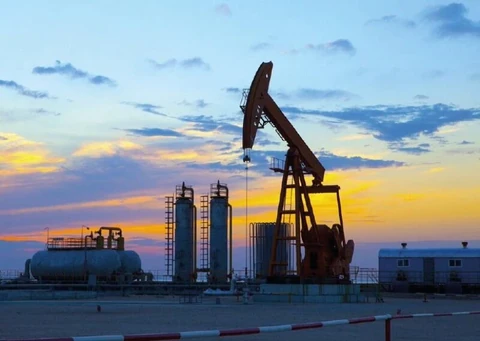 Airborne geophysical methods in hydrocarbon exploration
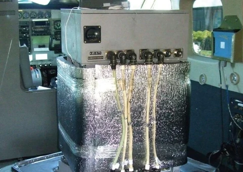 Airborne gravimetry—a new method for investigating hydrocarbon-prospective areas
 Investigation of crystalline basement surface relief using aeromagnetic data
 Methodological foundations for interpreting modern airborne geophysical survey data
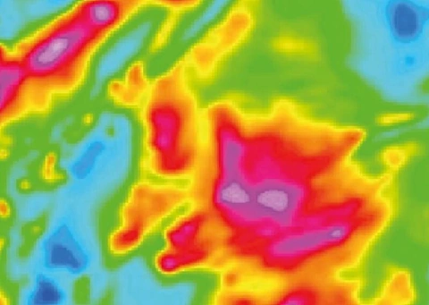 Interpretation of airborne geophysical data in geological mapping of the crystalline basement
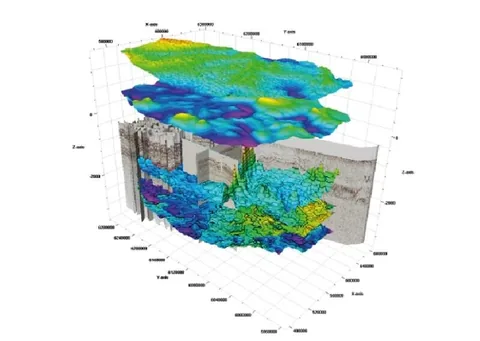 Interpretation of airborne geophysical data in oil and gas exploration
 Capabilities of integrated airborne geophysical surveys in providing geophysical support for regional geological and predictive exploration studies (collected papers)