Engineering geological investigations
Conducting engineering geological investigations.
Integrated airborne geophysical survey data are an important component of engineering geological investigations in the following fields.
Engineering geological investigations are important procedures required for various types of construction work. This type of investigation is necessary not only for a reliable assessment of the ground but also for preparing the principal documentation. Data from integrated airborne geophysical surveys are among the basic components of engineering geodetic investigations.
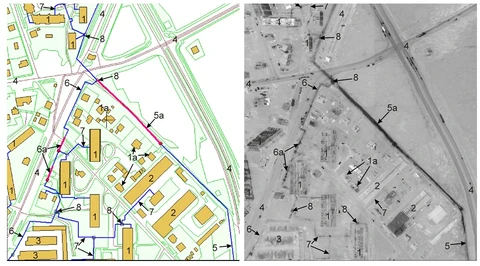
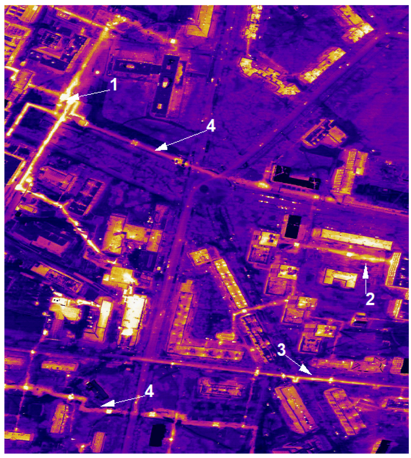
Underground heating networks in urban agglomerations
Airborne thermal infrared imaging is the only remote sensing method that enables heating networks to be located and their condition to be diagnosed remotely. Survey data enable:
- rapid assessment of the actual condition of a city’s heating network infrastructure;
- creation (updating) of vector maps of heating networks to the specifications of the source topographic base (for example, 1:2000);
- rapid identification of heating network sections in emergency condition or at risk of failure;
- integration of the resulting data into municipal and specialised GIS;
- identification of unauthorised connections to heating networks;
- assessment of the effectiveness of investment in heating networks based on monitoring aerial surveys;
- reduction of major repair costs for heating networks through realistic assessment of pipeline condition and adjustment of repair plans;
- decisions on extending the service life of heating networks;
- prioritisation of major repair projects according to the funds available.
Interpretation of the resulting data enables the following to be distinguished:
- standard heat losses (pipeline in normal condition, intact and dry thermal insulation);
- increased heat leakage (wet or damaged insulation, increased intensity of corrosion processes);
- high heat leakage (small pinhole leaks, damaged and wet insulation);
- emergency condition (rupture of the heat pipeline with discharge of the heat-transfer fluid).
Detecting persistent leaks is of considerable practical importance. Leaks are not only long-lasting sources of environmental impact but also incipient sites of pipeline wall failure (accidents) due to accelerated corrosion. In addition, small leaks lead to a sharp increase in heat losses through wet insulation and losses of district-heating water that must be replenished.
Monitoring the condition of roads and railways
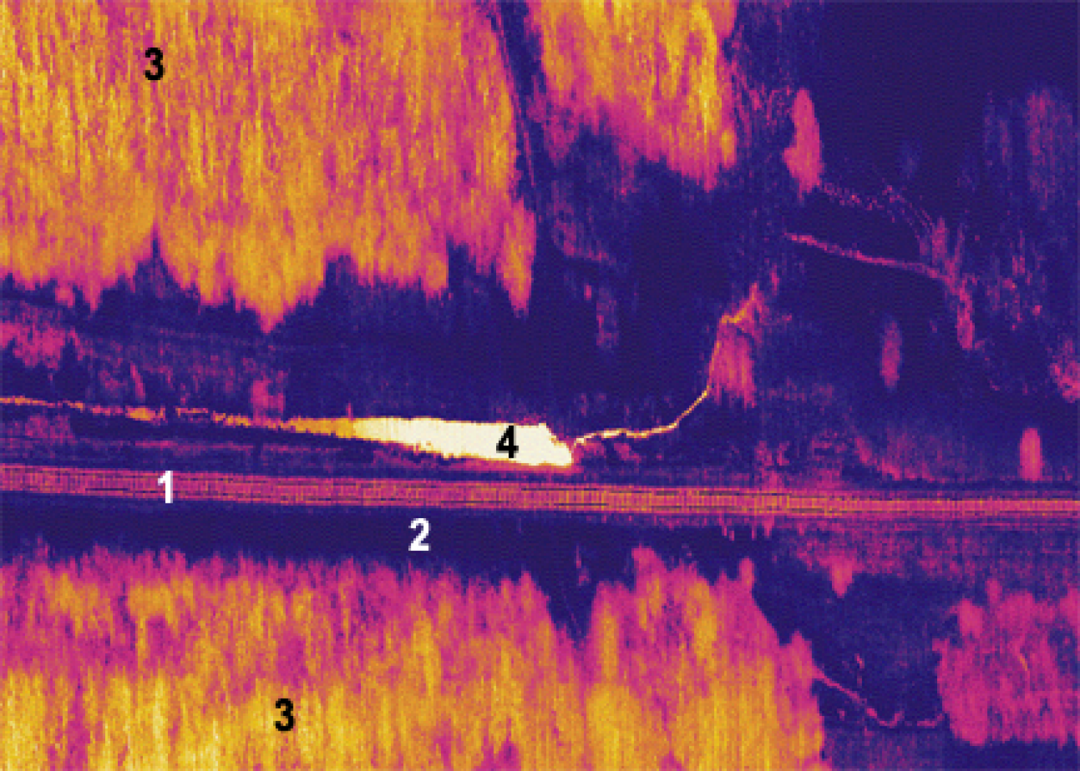
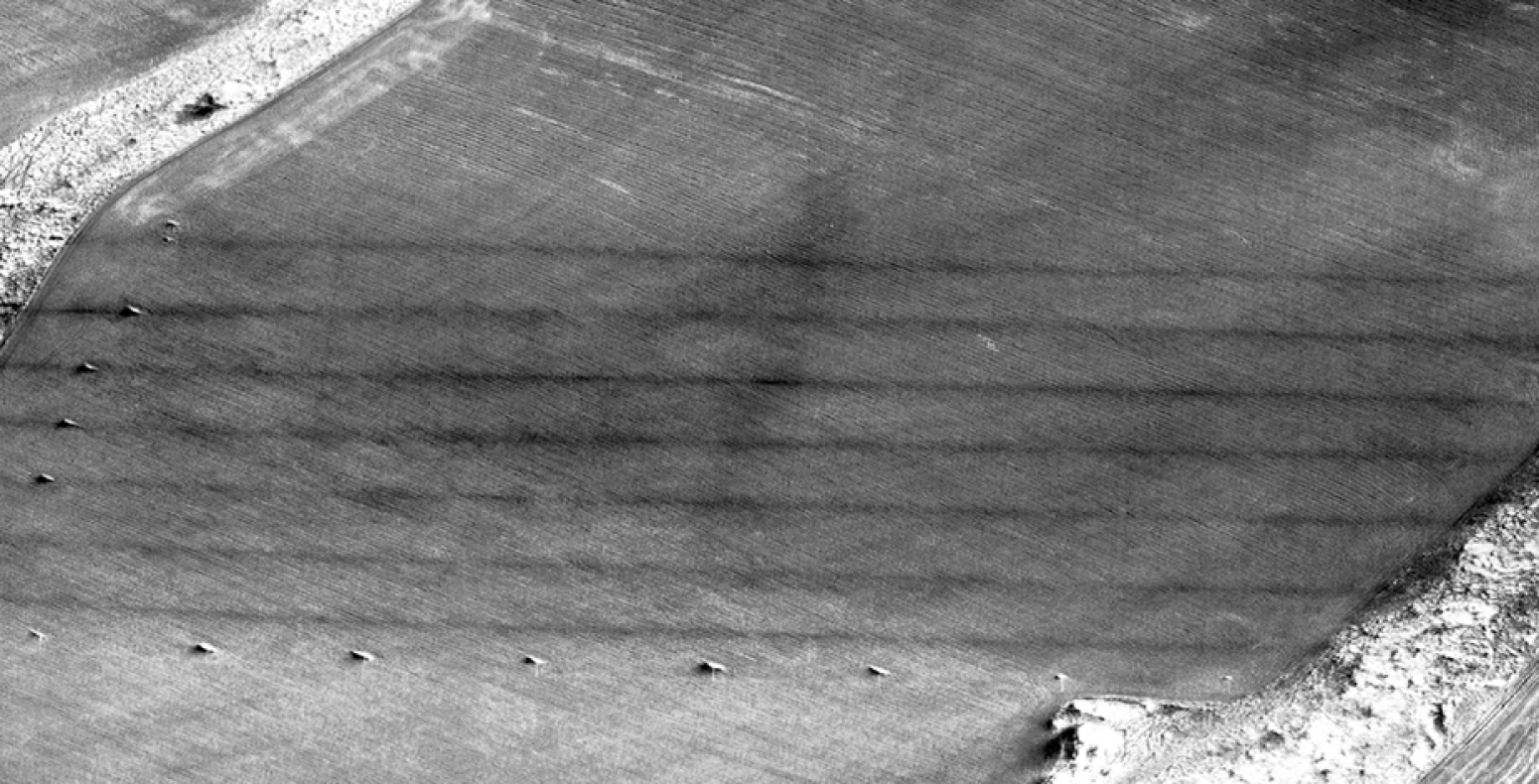
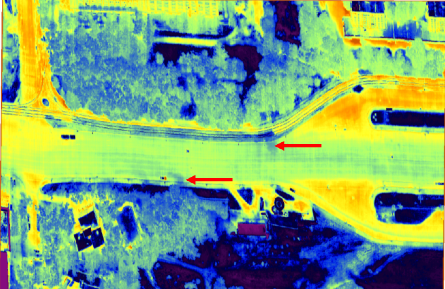
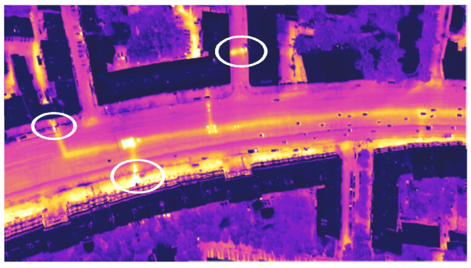
Airborne thermal infrared imaging is used to assess road surfaces and railway trackbeds. Pavement failure is preceded by loosening of the underlying cushion layer (fracturing, suffosion and other processes). Such locations generally show increased water saturation beneath the roadbed due to groundwater, precipitation and leaks from water-carrying utilities. Waterlogged road sections warm more slowly under solar radiation because of the higher heat capacity of water and its evaporation. These areas therefore appear as local cold spots in thermal images of the road surface.
Design of roads and product pipelines
When planning product pipeline routes, airborne thermal infrared imaging enables the mapping of water-saturated and waterlogged areas.
Assessment of product pipeline condition (oil and gas pipelines)
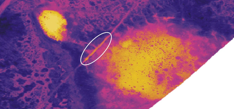
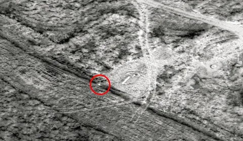
Oil and gas are transported through pipelines under high pressure, causing the transported product to heat up to 45-50˚C. With large-diameter pipes (≥ 1000 mm), a conductive heat flux is generated that is sufficient to produce a positive thermal anomaly even for buried pipelines.
Airborne thermal infrared imaging enables the following tasks to be addressed:
- mapping the locations of product pipeline strings and their infrastructure;
- identifying waterlogged sections;
- detecting unauthorised connections to product pipelines
- identifying leaks both underground and from valve assemblies.
Oil pipeline leaks are detected as radiometric-contrast objects (changes in the spectral characteristics of soils and ground materials), whereas gas pipeline leaks are detected as temperature-contrast objects (negative thermal-field anomalies caused by adiabatic expansion of the escaping gas).
Hydrogeology
The following tasks can be addressed in groundwater exploration using an airborne time-domain electromagnetic system:
- determination of the depth and thickness of the various rock horizons comprising the geological section, including aquifers and aquitards;
- mapping and investigation of the internal structure of tectonic faults and water-bearing zones of enhanced fracturing.
Geocryology
The presence and extent of frozen ground become more important in construction in northern regions. Since the high resistivity of frozen ground is reliably mapped in effective-resistivity models, airborne electromagnetic survey results enable the following tasks to be addressed:
- mapping permafrost zones;
- mapping taliks;
- determining the position of the lower boundary of the frozen layer;
- assessment of the cryogenic condition of soils with reference to drilling results.
Other tasks:
Airborne electromagnetic survey data assist in:
- mapping palaeovalleys;
- identifying zones of karst development;
- locating heterogeneities in the upper part of the section (for example, rocks of the trap complex) so that they can be taken into account in subsequent seismic data processing.
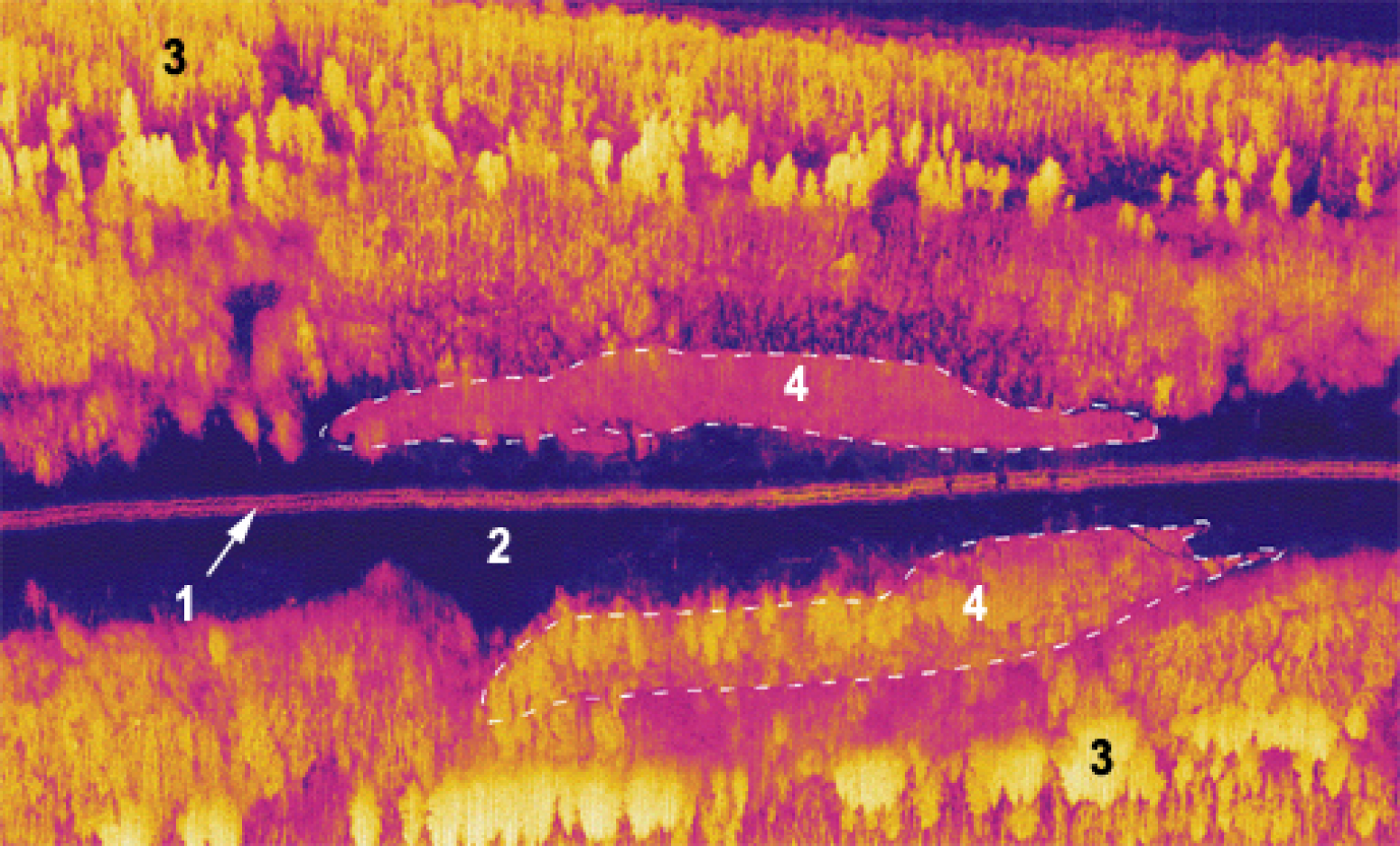
(1 – railway trackbed; 2 – railway embankment; 3 – forest; 4 – opposing arrangement of the waterlogged zone)