Integrated airborne geophysical surveys
Airborne geophysical surveys differ from other geological investigation technologies in their exceptional speed, cost-effectiveness, environmental cleanliness, virtually unrestricted accessibility, ease of combining methods, and exceptionally high data homogeneity and statistical representativeness.
Several research directions have emerged in recent years, differing both in the combination of methods used and in the range of geological tasks addressed:
- mineral exploration;
- surveys in prospective oil and gas areas aimed at assessing hydrocarbon potential;
- preliminary surveys in support of geological mapping;
- engineering geological investigations;
- environmental investigations.
Integrated airborne geophysical surveys conducted in various areas essentially form part of a high-quality geophysical foundation for geological investigation of licence areas. They can subsequently be reused for targeted interpretation aimed at assessing an area’s potential for particular types of mineral resources.
Types of airborne geophysical surveys
- airborne gravimetry;
- magnetometry;
- gamma-ray spectrometry;
- multifrequency electromagnetic surveying;
- time-domain electromagnetic surveying;
- thermal infrared imaging;
- airborne laser scanning and aerial photography.
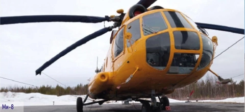
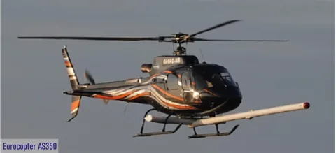
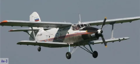
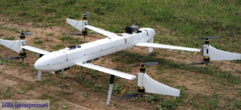
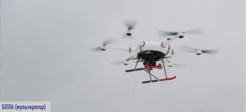
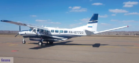
The optimal aircraft, including UAVs, is selected according to the combination of geophysical methods, the volume of work, terrain, transit distance and other factors. Aerial surveys of targets are carried out using specialised equipment.
The high quality and spatial resolution of modern airborne geophysical data enable their use at virtually every stage of geological exploration, including further exploration of the flanks of operating mines to secure their resource potential and optimise the prospecting process during the main stage of work.
Services provided:
- preliminary preparation and planning, including obtaining the required permits.
- survey flights, including checking, adjustment and calibration operations.
- preliminary and office-based data processing.
- integrated geological and geophysical interpretation of airborne geophysical data.
- preparation of the final report on the work.
Services are provided throughout Russia and abroad.
Aircraft used:
The following are delivered upon completion of fieldwork:
- a map of actual flight lines compiled from differentially corrected navigation data;
- a digital archive of line data, including raw and fully levelled data, in Geosoft database format;
- grids of physical fields and their transforms in Geosoft format;
- data confirming the quality of the airborne geophysical work performed.
Following office-based data processing, maps are provided in digital form and as hard copies, with a detailed legend and a rectangular coordinate grid.
Geological and geophysical interpretation delivers:
- a map of geological and geophysical interpretation results incorporating predictive elements;
- a final report on the airborne geophysical work, containing a detailed description of field observation methods and equipment, airborne geophysical data processing and interpretation methods, refinement of the geological and tectonic structure of the area, and identification of prospective sites.
The characteristics of airborne geophysical surveys (high productivity, integrated coverage and information content) make them most effective as preliminary surveys, so that their interpretation results can be used to manage the prospecting process promptly during the main stage of work. Airborne geophysical technologies thus provide an effective means of optimising geological exploration by reducing the time required to prospect an area and more precisely positioning costly seismic surveys and mining and drilling operations.