

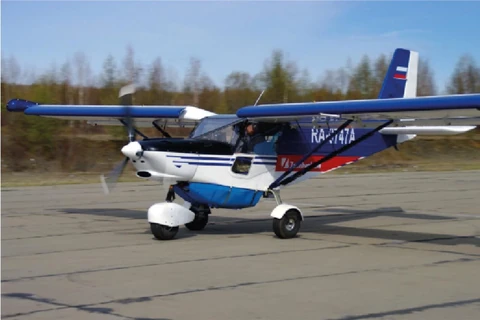
Airborne gravimetry using a new strapdown airborne gravimeter
Airborne gravimetry using a new strapdown airborne gravimeter developed on the basis of a modern inertial navigation system substantially broadens the range of geological exploration problems that can be addressed.
Advantages:
- enables airborne gravity surveying in combination with other
methods, including airborne electromagnetic surveying and airborne gamma-ray spectrometry;
- smaller dimensions and lower power consumption allow the system to be installed on light aircraft, including UAVs, helping optimise aviation support costs;
- enables surveys with full terrain following.
Main problems addressed:
- structural and tectonic mapping of buried basement;
- investigation of the structure of coal-bearing regions;
- delineation of ore-controlling intrusions;
- identification of structures prospective for hydrocarbon accumulation;
- mapping of the most strongly contrasting formations in the sedimentary cover (primarily faults, including possible thrust dislocations and fracture zones;
- mapping of palaeochannels.