

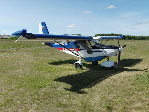
The aeromagnetic and airborne gamma-ray spectrometric components of the integrated survey were conducted under a state assignment as part of an FSBI VSEGEI project at a scale of 1:50,000 over 3729 km² within map sheets Q-36-XXXIII and XXXIV (Lekhta area)
The Lekhta area belongs to the Karelian mineragenic subprovince and partly lies within the Shombozero–Lekhta gold–pyrite–molybdenum ore district. The Central Karelian potential uranium–molybdenum–gold mineragenic zone is inferred in the western part of the Lekhta area.
Instrumentation and navigation systems developed in recent years enabled the acquisition of highly accurate geophysical information. New geophysical modelling technologies and integrated analysis in a GIS environment will enable a higher standard of geological interpretation, providing qualitatively new information for compiling a second-generation geological map at 1:200,000.