

At the conference, our expert will share experience and examples of using multisensor aerial surveying to solve complex problems arising in the search for new deposits and in planning the development of previously explored deposits. Particular attention will be paid to the capabilities and examples of thermal imaging applications.
Andrey Alexandrovich Makarov, Head of the Aerial Photography and Airborne Laser Scanning Department at JSC GNPP Aerogeofizika, will give a presentation on one of the key topics in this field: “Airborne laser scanning as an element of multisensor aerial surveying”.
About the presentation:
At the conference, our expert will share experience and examples of using multisensor aerial surveying to solve complex problems arising in the search for new deposits and in planning the development of previously explored deposits. Particular attention will be paid to the capabilities and examples of thermal imaging applications.
We invite all conference participants to attend the presentation. It is an excellent opportunity to learn about the latest trends and innovations in multisensor aerial surveying, discuss potential forms of cooperation and establish useful contacts.
Time and venue:
Aerogeofizika's presentation will take place on 15 February 2024 at 15:10 at: Artcourt Moscow Centre, Grand Hall, 7 Voznesensky Lane, Moscow.
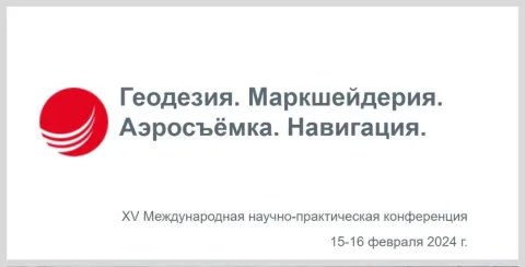
We look forward to meeting you at the conference “Geodesy. Mine Surveying. Aerial Surveying. Navigation”!