

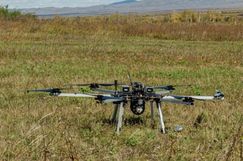
GNPP Aerogeofizika completed a low-altitude integrated aerial survey using uncrewed aerial vehicles.
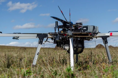
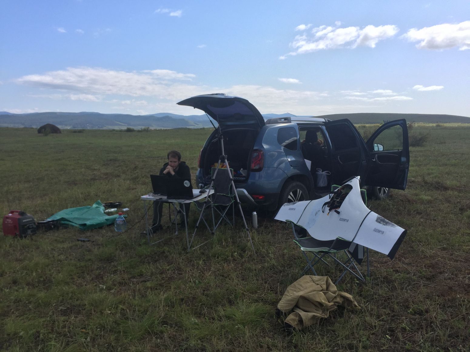
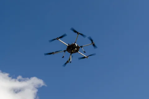
A low-altitude integrated aerial survey using UAVs was completed in Zabaykalsky Krai. A high-productivity fixed-wing UAV was used to construct an up-to-date digital landscape model. Airborne gamma-ray spectrometry and magnetometry were carried out using a multirotor UAV, enabling low flight altitudes and speeds.
View material on “Airborne Geophysical Surveys Using Uncrewed and Ultralight Aircraft”