

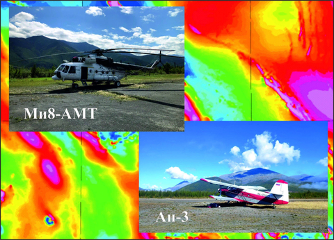
In 2022, under a government commission to provide geophysical support for geological mapping at 1:200,000 and assess mineral potential, GNPP Aerogeofizika conducted integrated airborne geophysical surveys at 1:50,000 in the Gyrbynya (Republic of Sakha (Yakutia)) and Dagda areas (Primorsky Krai, Khabarovsk Krai). The Gyrbynya area lies within map sheets Q-55-XXXIII and XXXIV; the total survey area was 7186.8 km2. The 1:50,000 integrated airborne geophysical survey in the Dagda area (sheets М-54-XXVI, (XXVII), XXXI), excluding prohibited zones, covered 11825 km2.
Selection of geophysical methods for the airborne geophysical suite took into account the region’s physical geography, geology and tectonics, and the specified geological objectives. The suite chosen for the modern integrated airborne geophysical survey at 1:50,000 consisted of aeromagnetometry, airborne electromagnetic surveying using the DIP method, and airborne gamma-ray spectrometry.
The fieldwork results were successfully reviewed and accepted by the customer at the end of 2022. Further interpretation of the survey data is planned for 2023, to identify areas prospective for the target mineral commodities.