

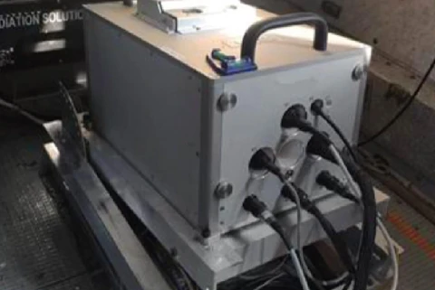
During the 2021 field season, as part of a state assignment for geological mapping of selected areas of the Russian Federation, the standard suite was supplemented, for the first time worldwide, with airborne gravimetry using a new-generation strapdown airborne gravimeter, at the initiative of the contractor, JSC GNPP Aerogeofizika.
The survey used an An-3T aircraft as its platform and followed standard procedures (terrain-following flights at a constant height above ground). Flight speed was 150–180 km/h, and sortie duration was up to 6 hours.
In addition to standard airborne geophysical instrumentation, the aircraft carried a strapdown airborne gravimetry system and a navigation system using the combined GPS+GLONASS satellite constellations.
Preliminary assessment of the acquired data quality gives grounds to consider that the results meet the requirements currently applicable to airborne gravity surveys. Including airborne gravimetry as an additional information channel in the airborne geophysical suite substantially improves the reliability of data interpretation and the geological effectiveness of airborne geophysical work without significantly increasing survey costs.